The global demand for Satellite Image Data Services Market is presumed to reach the market size of nearly USD 42.48 BN by 2030 from USD 7.9 BN in 2022 with a CAGR of 23.4% under the study period 2023 - 2030.
Satellite image data services refer to the collection, processing, and distribution of satellite imagery and related geospatial data to various users and industries. These services are provided by satellite operators, remote sensing companies, and geospatial technology providers.
Market Dynamics
Advancements in satellite technology have improved the quality and accessibility of satellite imagery, making it valuable for various applications. The number of Earth observation satellites increase has expanded the availability of satellite data for analysis and applications. Satellite image data services have become cost-effective and efficient compared to traditional data collection methods, driving their adoption. The applications of satellite imagery have expanded across sectors like agriculture, forestry, environmental monitoring, disaster response, and national security. Improved global connectivity and internet access have facilitated the real-time monitoring and sharing of satellite data. Growing climate change concerns and environmental issues have also fueled the demand for satellite image data services for monitoring and managing environmental changes. Additionally, precision agriculture, disaster management, government initiatives, and integration with other technologies have further driven market growth. Both commercial and defence sectors utilize satellite imagery for various purposes, contributing to the market's expansion.
The research report covers Porter’s Five Forces Model, Market Attractiveness Analysis, and Value Chain analysis. These tools help to get a clear picture of the industry’s structure and evaluate the competition attractiveness at a global level. Additionally, these tools also give an inclusive assessment of each segment in the global market of satellite image data services. The growth and trends of satellite image data services industry provide a holistic approach to this study.
Market Segmentation
This section of the satellite image data services market report provides detailed data on the segments at country and regional level, thereby assisting the strategist in identifying the target demographics for the respective product or services with the upcoming opportunities.
By Sensing Technique
- Optical Imagery
- Radar Imagery
By Industry
- Energy And Power
- Defense And Intelligence
- Engineering And Infrastructure
- Environmental And Agriculture
- Transportation And Logistics
- Others
By End-Use
- Commercial
- Government And Military
Regional Analysis
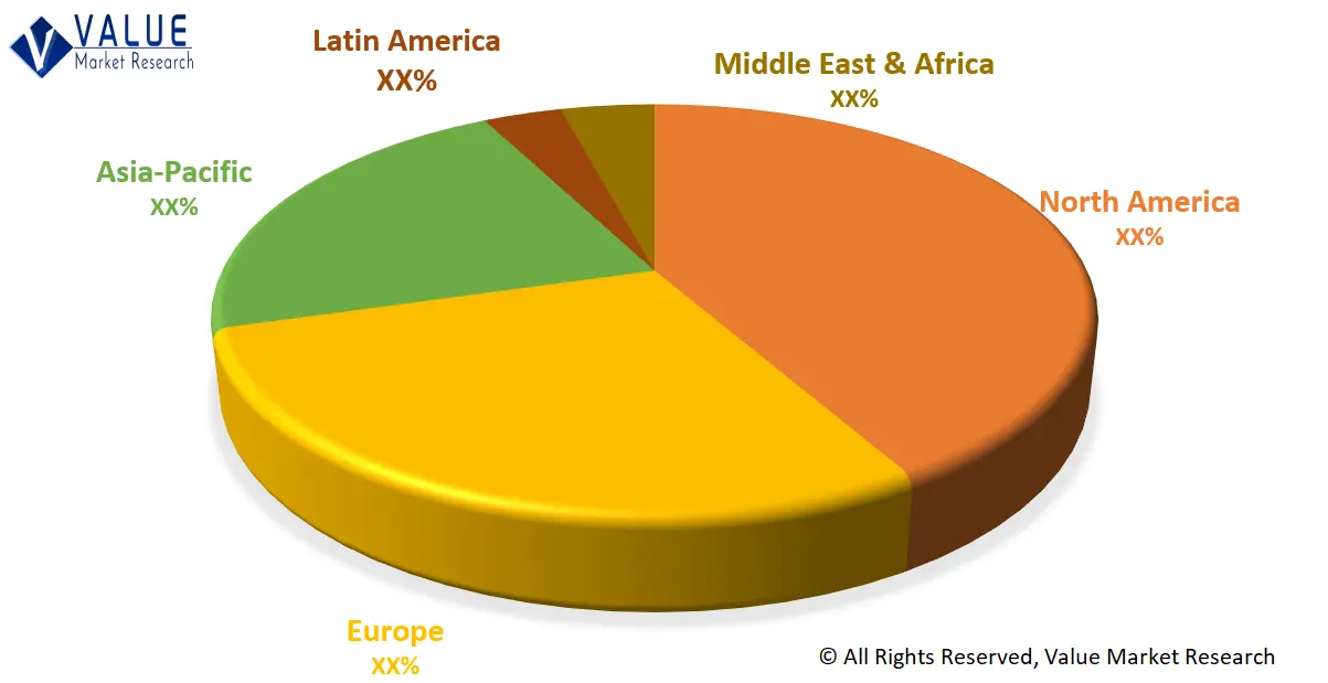
This section covers the regional outlook, which accentuates current and future demand for the Satellite Image Data Services market across North America, Europe, Asia-Pacific, Latin America, and Middle East & Africa. Further, the report focuses on demand, estimation, and forecast for individual application segments across all the prominent regions.
Global Satellite Image Data Services Market Share by Region (Representative Graph)

The research report also covers the comprehensive profiles of the key players in the market and an in-depth view of the competitive landscape worldwide. The major players in the Satellite Image Data Services market include Maxar Technologies, Planet Labs Pbc, L3harris Technologies, Inc., Blacksky, Ursa Space Systems, Inc., Iceye, Satellite Imaging Corporation, Land Info Worldwide Mapping, Llc, East View Geospatial, Inc., Airbus. This section consists of a holistic view of the competitive landscape that includes various strategic developments such as key mergers & acquisitions, future capacities, partnerships, financial overviews, collaborations, new product developments, new product launches, and other developments.
In case you have any custom requirements, do write to us. Our research team can offer a customized report as per your need.

